


Some error occured while loading the Quick View. Please close the Quick View and try reloading the page.
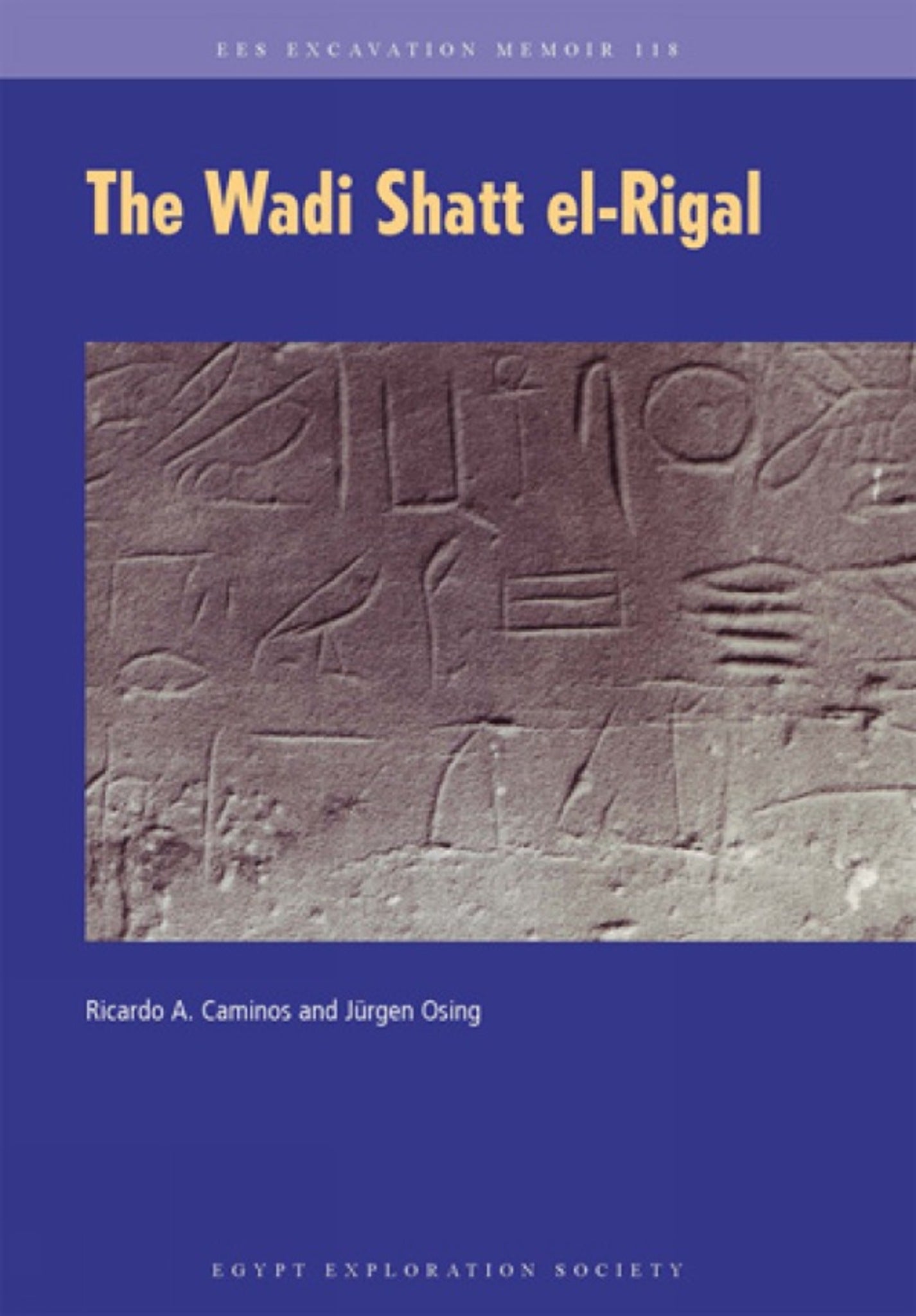
This volume, part of the wider EES publications on the site of Gebel el-Silsila, covers the results of the 1983 season at nearby Wadi Shatt el-Rigal, famous for its abundance of epigraphic records from the late Eleventh Dynasty. The reason for their presence in this remote site has remained an intriguing problem that has been much debated. Besides the three well-known royal reliefs of Mentuhotep II and Mentuhotep III, the mission under Ricardo Caminos and assisted by Jurgen Osing documented more than 800 inscriptions and rock-drawings, which until now have remained only partially published. Follow-up work in 2004 has allowed for checks on the previous work, which can now be made fully accessible.

Price: £74.99
Pages: 238
Publisher: Egypt Exploration Society
Imprint: Egypt Exploration Society
Series: Excavation Memoir
Publication Date:
20 April 2021
ISBN: 9780856982446
Format: Paperback
BISACs:

I. Foreword
II. History of the site
i. Reliefs and inscriptions
General remarks
Graffiti
Filiation
Epithets
Later visitors
ii. Mentuhotep II and his court
iii. The train of Mentuhotep II
iv. Mentuhotep III and his officials
v. Quarrying and team marks
vi. Rock drawings
Humans
Foot marks and sandals
Boats
Animals
Varia
vii. Conclusions
III. Locations
i. The gebel south of the Wadi (locations 1-19)
ii. The southern cliffs of the Wadi (locations 20-79)
From the mouth of the Wadi to the High Bay (locations 20-27)
From the High Bay to the Low Bay (locations 28-56)
The Low Bay (locations 57-64)
From the Low Bay to the entrance of the Wadi (locations 65-79)
iii. The northern cliffs of the Wadi (locations 80-87)
iv. The gebel north of the Wadi (locations 88-103)
IV. Footnotes
V. Abbreviations
VI. Indexes
Royal names
Egyptian personal names
Egyptian titles
Egyptian toponyms
Egyptian words
Greek personal names
VII. Plates
Maps and photographs
1. Aerial photograph of the Wadi (Google Earth)
2. The lower (a) and the upper end (b) of the Wadi
3. The High Bay
4. The Low Bay
5. Reliefs of Mentuhotep II (a: 26 B, b: 33 B)
6. Graffiti (a: 4 A, b: 14 J, c: 33 B, d: 27 Y.AC.AD)
7. Graffiti (a: 40 C, b: 46 B, c: 59 F, d: 59 D)
8. Graffiti (a: 59 AG, b: 61 S-AC, c: 61 Y, d: 48 C)
9. Graffiti (a: 62 D, b: 64 L, c: 71 C)
10. Graffiti (a: 79 B, b: 86 A, c: 99 G)
11. Hunters' ravine (loc. 17), upper end (a) and stairway (b)
12. Early hunters (a: 2 I, b: 17 P, c: 17 E, d: 17 R)
13. Early hunters (a: 98 T, b: 90 F, c: 90 F, d: 99 D)
14. Boat (a: 102 S), animals (b: 102 T)
Drawings
15. Sketch of the Wadi with position of locations
16-60. Reliefs and graffiti
61-63. Quarry marks
64-66. Human figures
67-70. Foot marks
71-76. Boats
77-114. Animals
115-117. Varia (designs, scribblings)