


Some error occured while loading the Quick View. Please close the Quick View and try reloading the page.
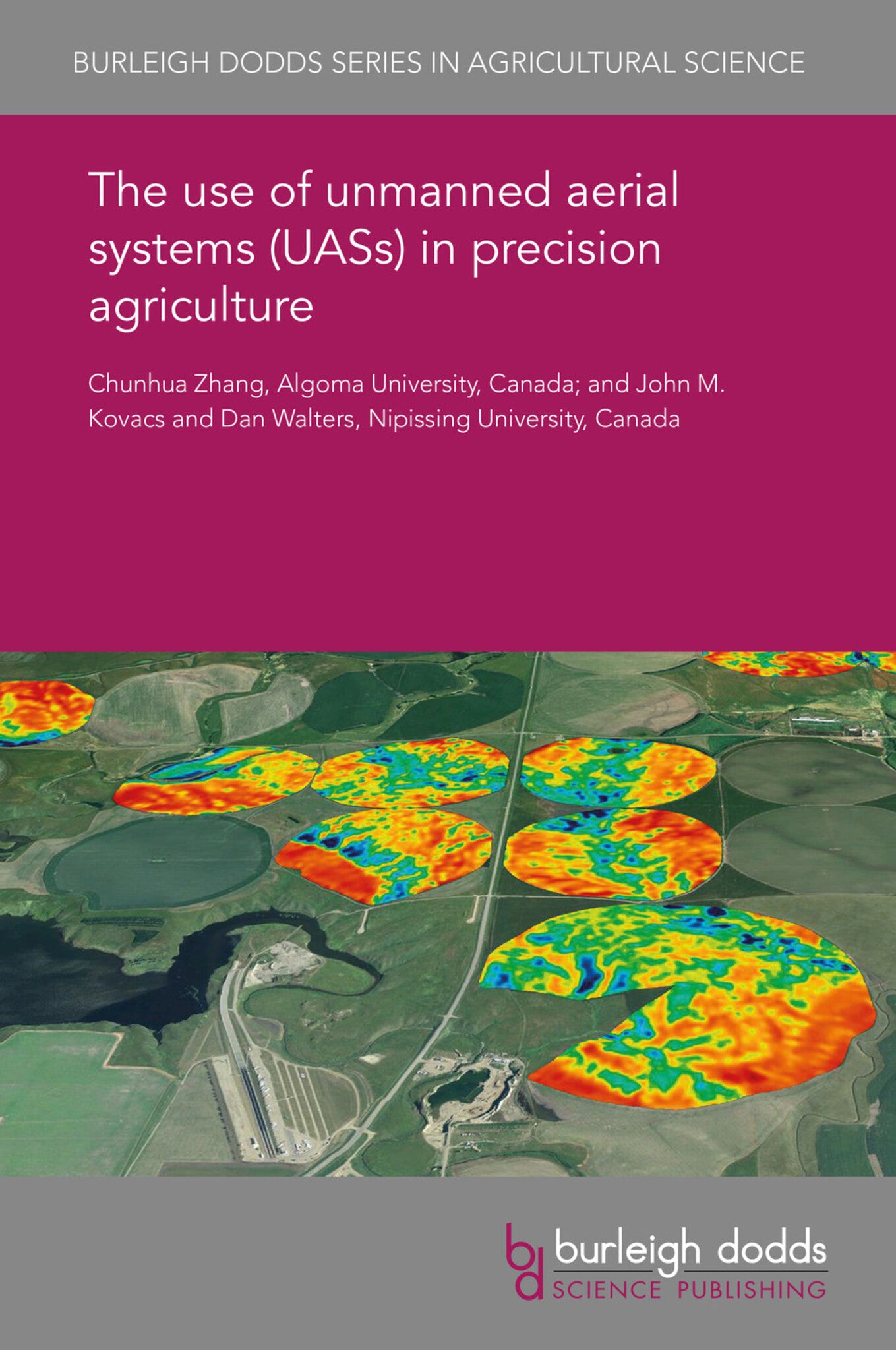
The rapid development of small unmanned aerial systems (UASs) in recent years has triggered considerable interest in their application for precision agriculture. The decreasing cost, the ultra-high spatial resolution and the increased flexibility of image acquisition have made UAS remote sensing an ideal technique for identifying, at close-to-real-time, field patterns. This chapter provides an overview of UAS platforms and sensors, and flight planning and imagery acquisition, before moving on to consider stitching and ortho-rectification in UAS image processing. The chapter reviews the applications of UAS imagery and methods of image analysis and incorporates a detailed case study. Finally, the chapter looks ahead to future research trends in this area.

Price: £25.00
Publisher: Burleigh Dodds Science Publishing
Imprint: Burleigh Dodds Science Publishing
Series: Burleigh Dodds Series in Agricultural Science
Publication Date:
05 November 2018
ISBN: 9781838797058
Format: eBook
BISACs:

- 1 Introduction
- 2 Platforms and sensors
- 3 Flight planning and imagery acquisition
- 4 Image processing: stitching and ortho-rectification
- 5 UAS imagery applications
- 6 Image analysis
- 7 Case study
- 8 Future trends and conclusion
- 9 Acknowledgements
- 10 Where to look for further information
- 11 References