We're sorry. An error has occurred
Please cancel or retry.
The Rise and Fall of the National Atlas in the Twentieth Century

Some error occured while loading the Quick View. Please close the Quick View and try reloading the page.
Couldn't load pickup availability
- Format:
-
12 July 2022

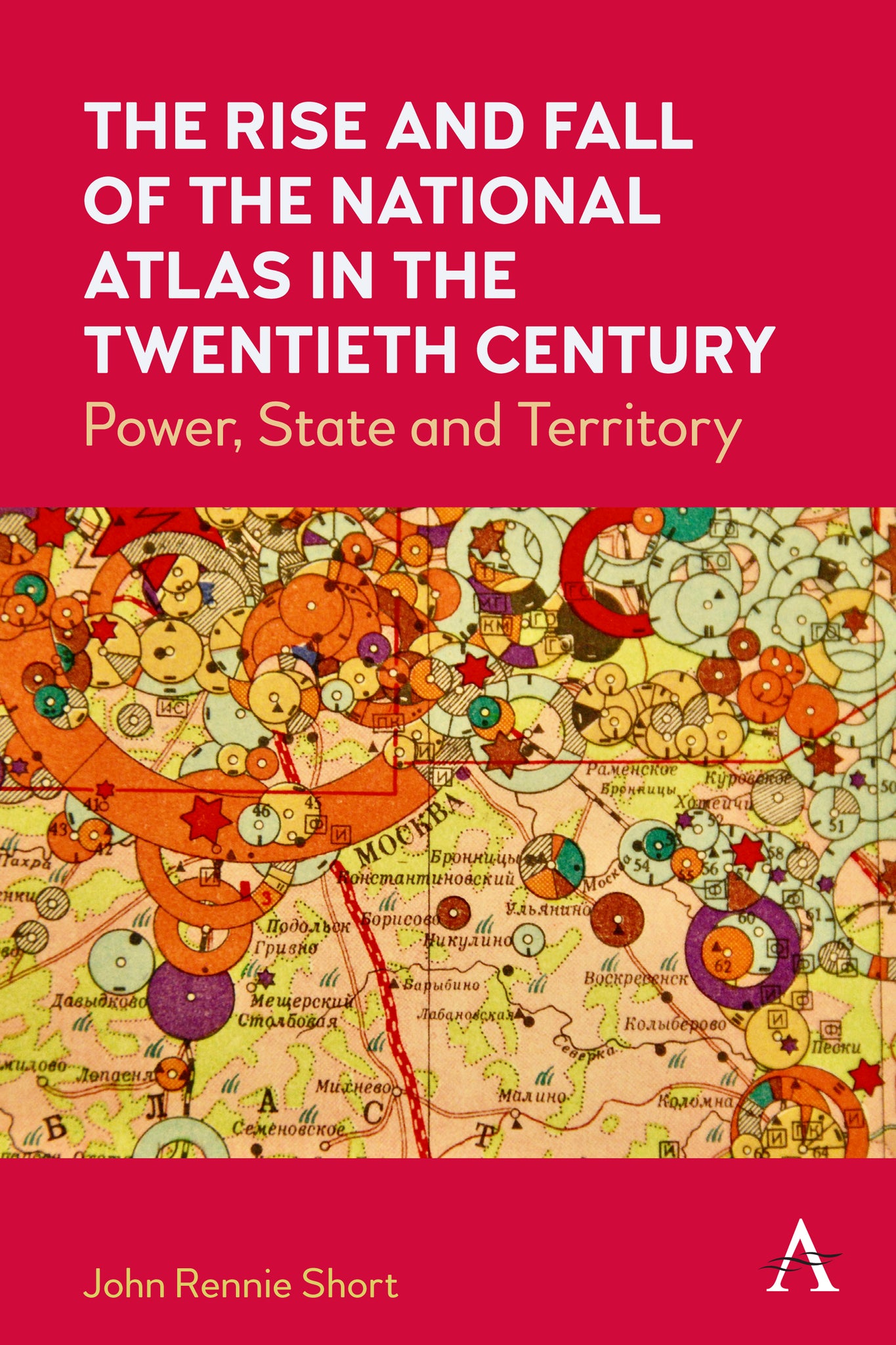
Between 1900 and 2000, more than seventy countries produced a national atlas, an official or quasi-official rendering of the nation-state in maps and accompanying text. This book considers the reasons behind and characteristics of this state-sponsored cartographic explosion. These national atlases mirror and embody some of the important themes of this turbulent century, including the complex connections between nation, state and territory, the rise of state-sponsored science; the growth of nation-states; colonialism and postcolonialism; and the geography of biopolitics.

SOCIAL SCIENCE / Regional Studies, Social impact of environmental issues, POLITICAL SCIENCE / World / General, SCIENCE / History, History of science, Regional / International studies

“A highly significant work not only for cartographic studies but also for historians of nationalism. Properly wide-ranging and clearly argued, this important work deserves much attention.” – Jeremy Black, author of Maps and History.
List of Figures; List of Tables; Acknowledgments; 1. Introduction, A Century of Nationalism, The Main Arguments, Structure of the Book; 2. The Early National Atlas, A Cartographic Explosion , The Early National Atlas in England and France; 3. Cartographic Anxieties and the Emergence of the Modern National Atlas, The Modern National Atlas in Latin America, From Anxieties to Certainties, Remaining Anxieties; 4. Cartographic Ruptures and the National Atlas, Cartographic Declarations of Independence, Revolutionary Ruptures, A Transect across the Ruptures; 5. National Atlas, Global Discourses, The Global Framing of the National, The Language of the Atlas: Text, The Language of the Atlas: Maps; 6. The Physical World of the National Atlas, Origins, Science, State and the National Atlas, National Imaginaries, Contested Discourses of the National Atlas; 7. The Social World of the National Atlas, Social Statistics, Statistical Atlases, Social Categories; 8. The End of the National Atlas?, Information Overload, New Technologies, National Atlas as Digital Portal, Toward a Polyphonic Participatory Atlas; Notes; Appendix: National Atlas Bibliography; Index


