


Some error occured while loading the Quick View. Please close the Quick View and try reloading the page.
Due to economic and environmental considerations, there exists a need for effective, efficient, and nondestructive methods for locating buried agricultural drainage pipes. Ground penetrating radar (GPR), a proximal soil sensing method, can potentially provide a means for drain line detection. This chapter details the evolution of research, through a series of studies conducted over the past twenty years, which focused on farm field mapping of subsurface drainage systems using GPR. The chapter first describes the evaluation of GPR against other proximal soil sensing methods. It then considers the factors potentially impacting GPR drainage pipe detection, goes on to examine GPR assessment of agricultural drainage pipe conditions and associated functionality implications, the effects of GPR antenna orientation relative to drain line directional trends and the integration of GPR with Real-Time Kinematic (RTK) Global Navigation Satellite System (GNSS) technology. A section on drainage mapping with a multichannel, stepped-frequency, continuous wave 3D-GPR system is also provided which is then followed by a review of complementary employment of GPR and unmanned aerial vehicle (UAV) imagery for drainage system characterization. The chapter concludes with a summary and recommendations for future research.


- 1 Introduction
- 2 Comparison of proximal soil-sensing methods for drainage pipe detection
- 3 Factors potentially impacting ground-penetrating radar drainage pipe detection
- 4 Ground-penetrating radar assessment of drainage pipe conditions and associated functionality implications
- 5 Effects of ground-penetrating radar antenna orientation relative to drain line directional trends
- 6 Integration of ground-penetrating radar with realtime kinematic global navigation satellite system technology
- 7 Drainage mapping with a multichannel, steppedfrequency, continuous-wave three-dimensional ground-penetrating radar system
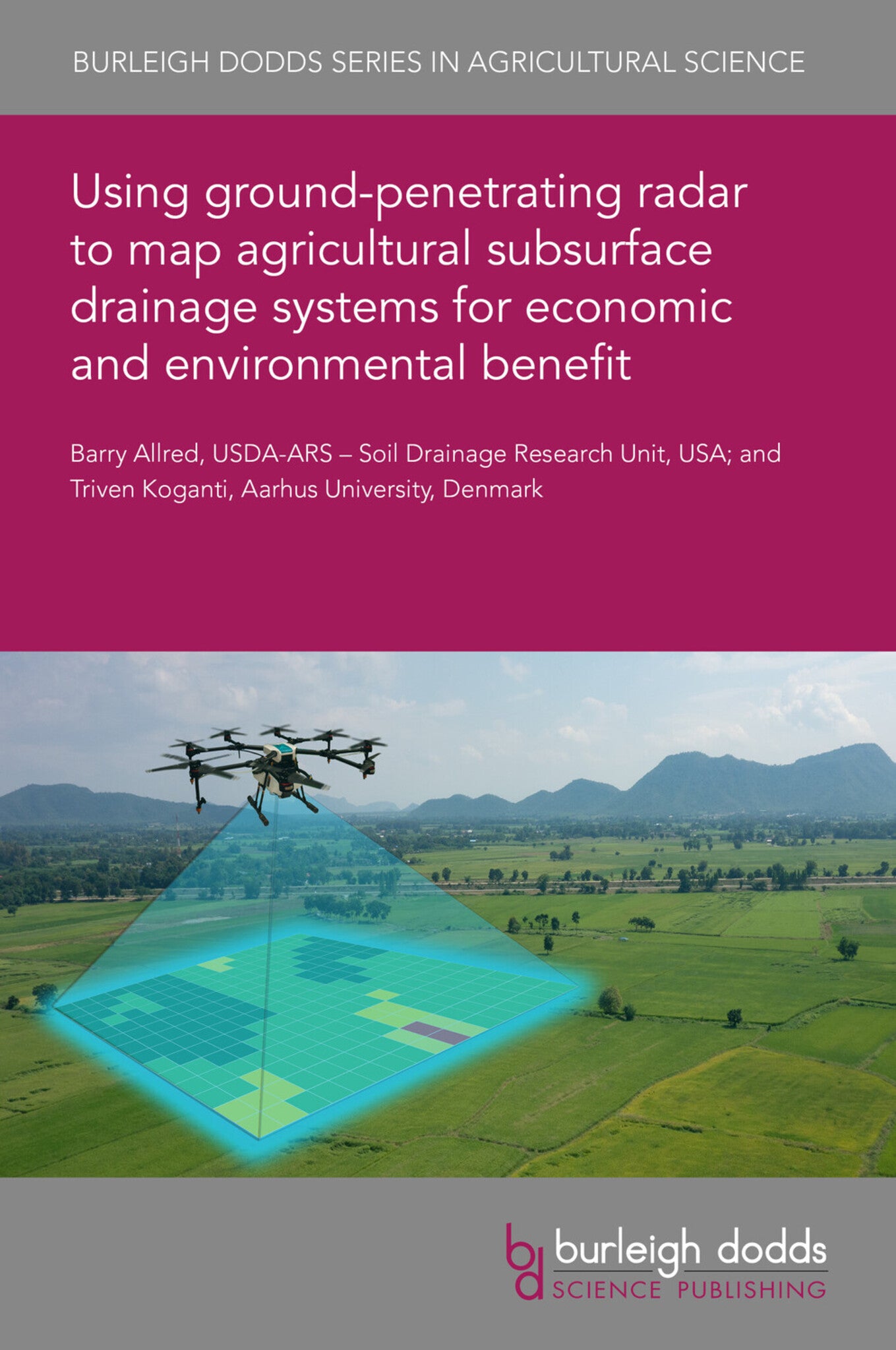
- 8 Complementary employment of ground-penetrating radar and unmanned aerial vehicle imagery for Drainage System Characterization
- 9 Conclusion
- 10 Future trends in research
- 11 Where to look for further information
- 12 References