


Some error occured while loading the Quick View. Please close the Quick View and try reloading the page.
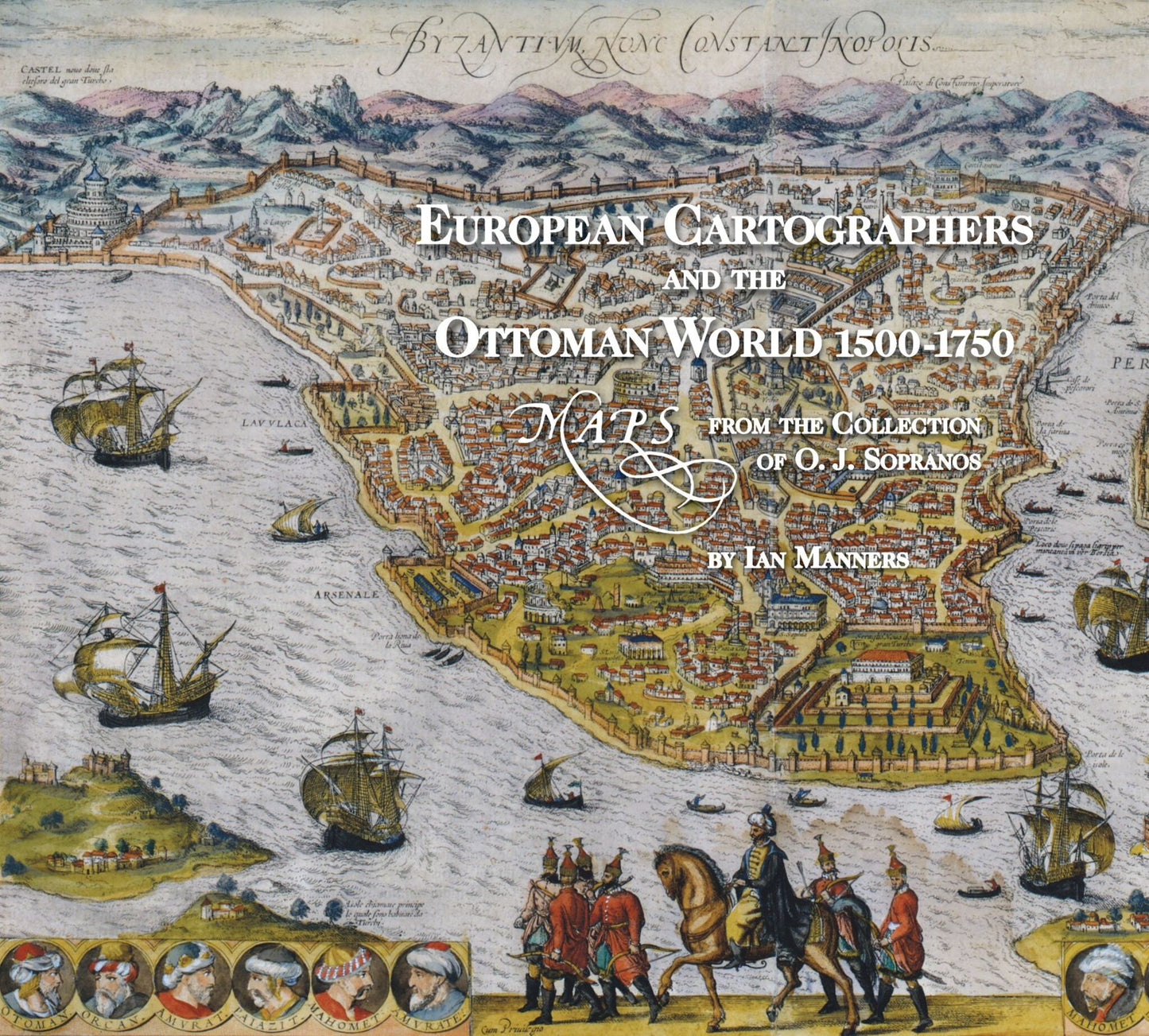
This lavishly illustrated catalogue of the exhibit European Cartographers and the Ottoman World, 1500-1750 , explores how mapmakers sought to document a new geography of the Near East that reconciled classical ideas and theories with the information collected and brought back by travellers and voyagers. The text is accompanied by images of illuminated manuscript charts and atlases, the earliest printed maps of the Ottoman Empire, and bird's-eye views of cities that provided "arm-chair travellers" with the experience of knowing distant places.

Price: £39.50
Pages: 144
Publisher: Institute for the Study of Ancient Cultures
Imprint: Institute for the Study of Ancient Cultures
Series: Oriental Institute Museum Publications
Publication Date:
31 December 2008
ISBN: 9781885923752
Format: Hardcover
BISACs:
