We're sorry. An error has occurred
Please cancel or retry.
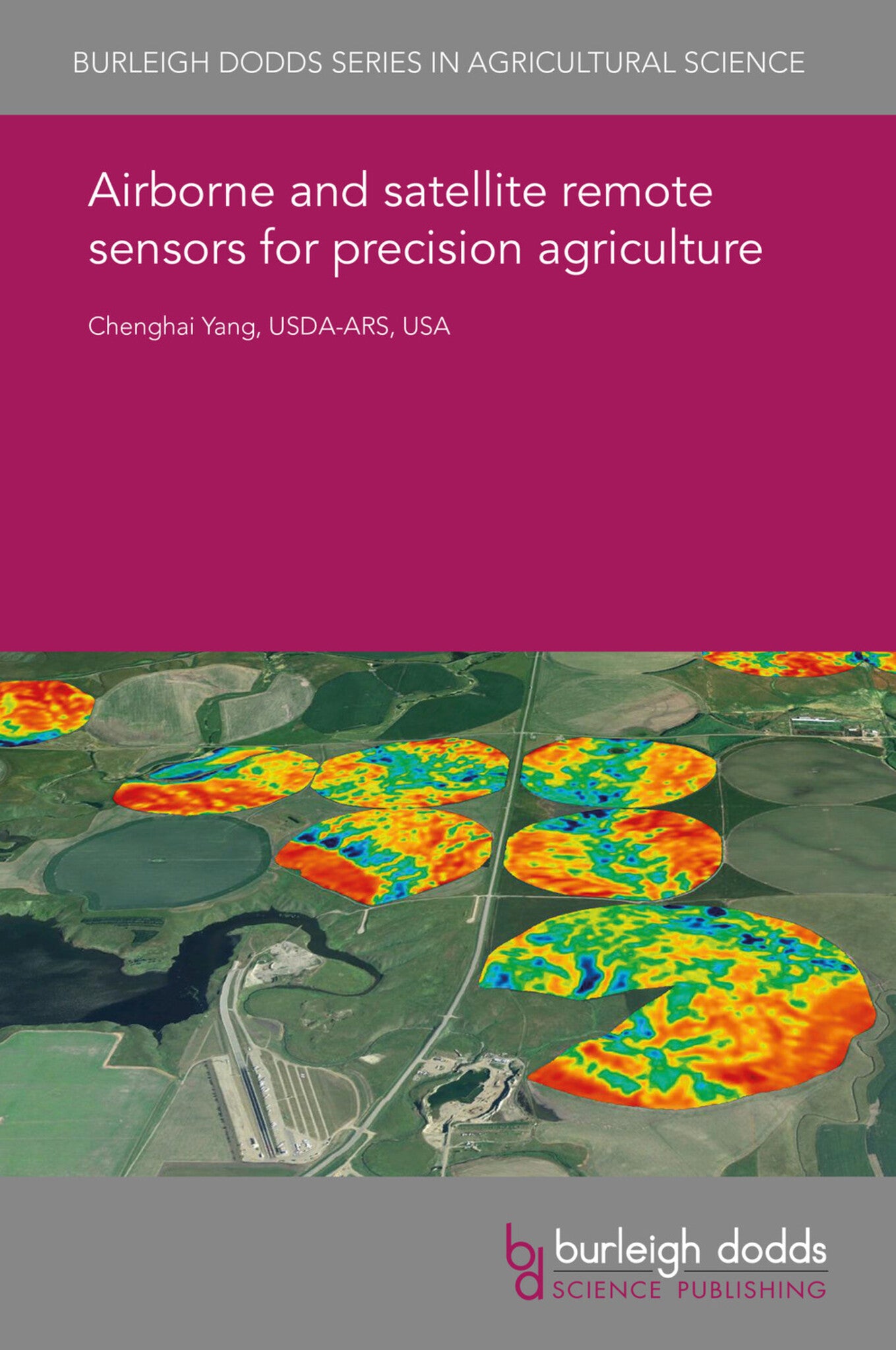
Airborne and satellite remote sensors for precision agriculture

Some error occured while loading the Quick View. Please close the Quick View and try reloading the page.
Couldn't load pickup availability
- Format:
-
05 November 2018


TECHNOLOGY & ENGINEERING / Agriculture / Sustainable Agriculture, Agronomy and crop production, TECHNOLOGY & ENGINEERING / Agriculture / Agronomy / Crop Science, TECHNOLOGY & ENGINEERING / Agriculture / Irrigation, TECHNOLOGY & ENGINEERING / Agriculture / Agronomy / Soil Science, Sedimentology and pedology, Agricultural engineering and machinery, Irrigation and water management, Sustainable agriculture

1 Introduction 2 Airborne imaging systems: overview and multispectral systems based on industrial cameras 3 Airborne imaging systems: multispectral systems based on consumer-grade cameras 4 Airborne imaging systems: hyperspectral sensors 5 Airborne imaging systems: application examples 6 High-resolution satellite sensors: overview and varieties 7 High-resolution satellite sensors: application examples 8 Challenges and future trends 9 Summary 10 Where to look for further information 11 Disclaimer 12 References


